CONNECTING PEOPLE + TECHNOLOGY + INFORMATION
Get Your FREE
Drone Pilot Readiness Score
Discover your starting point and the fastest path to becoming a skilled environmental drone operator
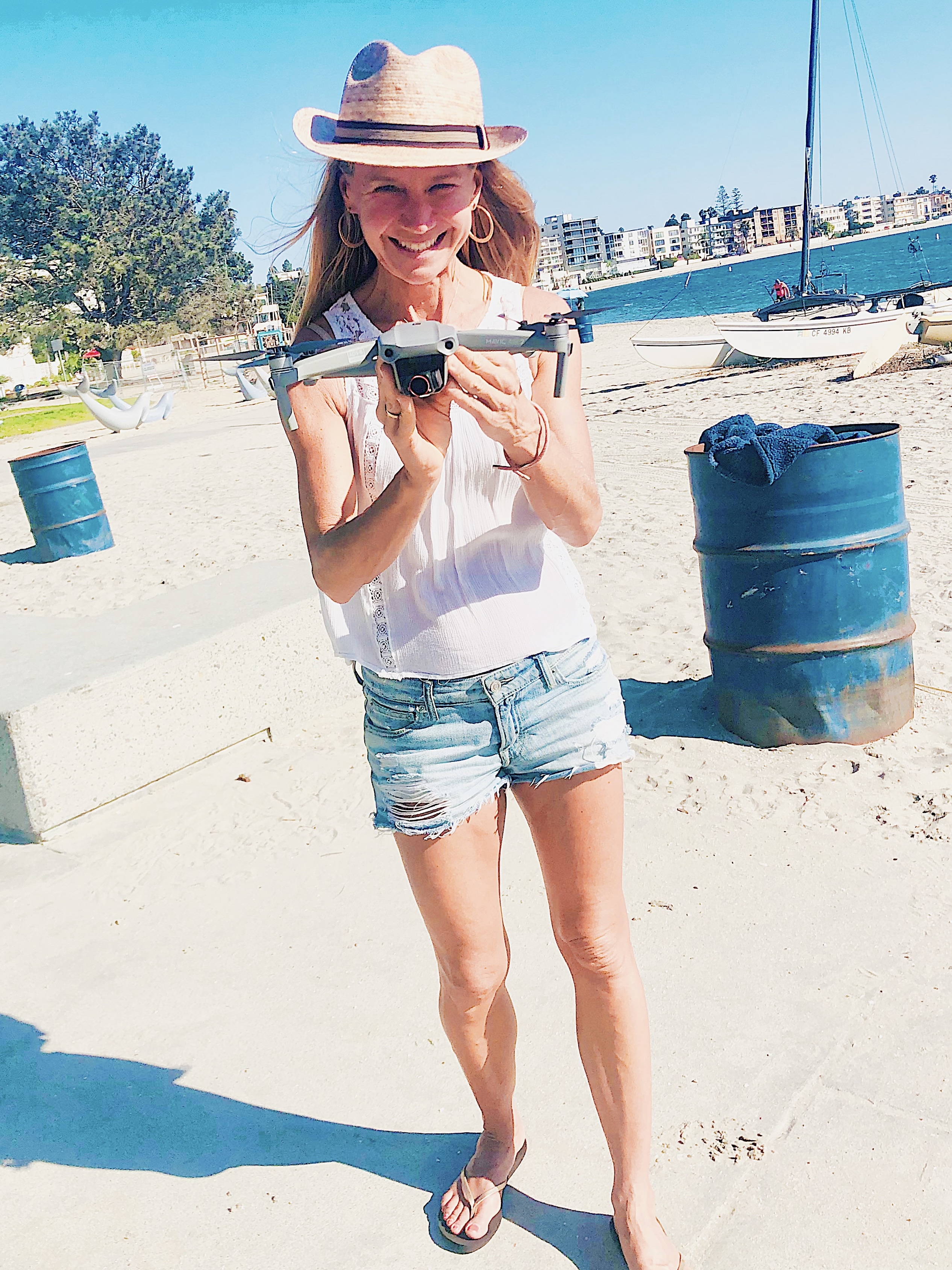
meet your instructor
Dr. Kim Baldwin
Ecologist, Drone Pilot & Geospatial Educator
Hi! I’m Dr. Kim Baldwin — a marine ecologist and drone pilot with 20+ years of experience conducting environmental field-research, mapping, GIS analysis and training experience across the Caribbean, California & beyond.
As the Director of Marine Spatial Information Solutions (MarSIS), my mission is to help individuals & organizations build practical geospatial analysis skills — using technology that’s approachable, hands-on and community-driven.
I’ve trained hundreds of people — from first-time pilots to full drone teams — in how to safely and professionally fly drones, set-up commercial UAS operations and effectively use aerial mapping field surveys to develop monitoring strategies for conservation, agriculture and disaster response.
Over time, I’ve developed an easy-to-follow approach that helps you quickly build real skills, even if you’re just starting out. Whether you're flying for fun, work or curiosity — my drone flying start-up kit is a great place to begin!
Let’s make your first flights smoother and more rewarding...
You don’t need to learn everything at once. You just need to start with the right tools & some support - Come fly with me today!
Copyrights 2026 | | Privacy Policy